Mandy Lake Road Trailhead
Trailhead Details
| 🧭 GPS Location | |
| N53 18.528 W113 00.084 (Opens in Google Maps) 53.308800,-113.001400 (Opens in your default map app) ///forthright.sands.swab (Opens in what3words - mobile only) | |
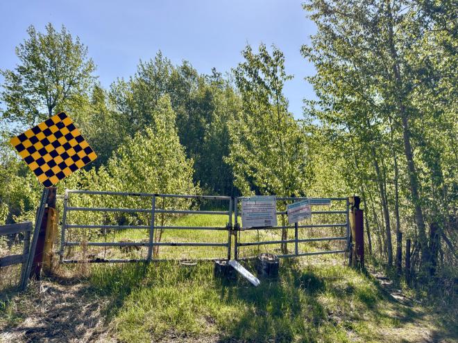
| 🅿️ Parking | |
| |
There are 3 suggested hikes starting at the Mandy Lake Road Trailhead.
Mandy Lake Parking to Old Shelter
This hike takes you along a former road, a rare thing in the Ministik. The going is easy, the navigation simple, which makes this a perfect choice for a starter hike. The final destination is a shelter that has seen better days, but still provides a roof and a place to rest for a while.
Mandy Lake Parking to Oliver Lake East
This hike has all sorts of types of terrain to navigate: it starts out on a road, transitions to a fairly good trail, and ends in a meadow that you’ll need to navigate without the help of a trail. But the end goal will take you to the shoreline of a quiet lake decidedly away from civilization.
North of Township Road 502 Loop
This somewhat awkwardly named hike takes you into a secluded set of trails not too far from parking. There are a couple of overgrown areas to traverse on the way, but otherwise trails are usually kept clear by local quad traffic.