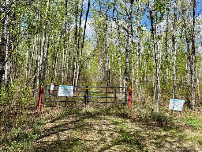
Stove Lake Trailhead
Trailhead Details
| 🧭 GPS Location | |
| N53 20.188 W112 55.673 (Opens in Google Maps) 53.336467,-112.927883 (Opens in your default map app) ///pyramid.anchor.grills (Opens in what3words - mobile only) | |
| 🅿️ Parking | |
| |
There are 3 suggested hikes starting at the Stove Lake Trailhead.
Stove Lake to Crossroads
While this hike isn’t listed among the “Starter Hikes” on the site, it is the next best thing. Rather than roads, there is a trail to follow, but the trail is always clear and easy to navigate. It’s a nice little jaunt to an intersection of trails in what will feel like the middle of nowhere.
Stove Lake to Fairbrother Corner
This hike rates as “Expedition” for a reason: it’s just about 13 km and covers a good portion of the Ministik. It’s a convenient “2-Car” option though: the departure and destination trailhead are along the same country road.
Stove Lake to Mandy Lake Parking
This hike takes you through the heart of the Ministik, on all kinds of trails: some usually clear, some usually dodgy. After traversing a cutline, you’ll take part of the Waskahegan Trail, then make your way to the Nesbit Trail on your way to the Mandy Lake Parking spot